Quinn Krüger · 18 September 2026
Harbor Sediment Shifts: Tracking Environmental Changes in Estuarine Zones After Infrastructure Updates
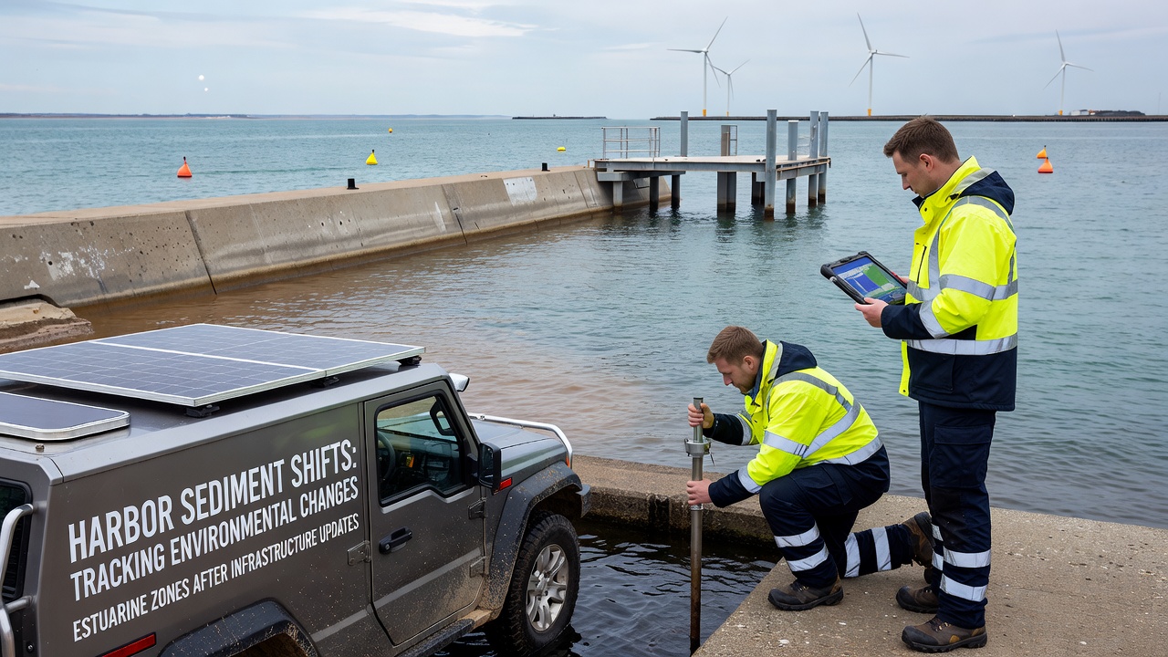
Harbor sediment shifts occur when infrastructure projects alter water flow patterns, dredging operations redistribute materials, and port expansions change current velocities in estuarine zones, and researchers track these movements through repeated bathymetric surveys that compare pre-construction and post-construction seabed elevations across multiple seasons. Data from these surveys indicate that sediment deposition rates can increase by 15 to 30 percent in areas downstream from new breakwaters, while erosion accelerates near widened navigation channels where wave energy concentrates.
Sediment Dynamics in Estuarine Environments
Estuarine zones function as transitional areas where freshwater mixes with seawater, and this mixing creates complex circulation patterns that influence how fine silt, clay particles, and sand grains settle or resuspend after infrastructure modifications. Studies conducted by government agencies show that bridge pier installations often create localized scour holes that extend 50 to 100 meters downstream, redistributing sediment loads toward adjacent intertidal flats. Monitoring programs in North American ports have documented these shifts through acoustic Doppler current profilers that measure velocity profiles at hourly intervals during tidal cycles.
Researchers at coastal universities collect core samples from multiple depths to analyze particle size distribution, and results reveal that infrastructure updates frequently change the proportion of organic matter in surface sediments because new structures alter oxygenation levels at the water-sediment interface. These changes affect benthic communities that rely on specific grain sizes for burrowing and feeding, prompting agencies to adjust habitat restoration plans accordingly.
Monitoring Techniques and Data Collection
Modern tracking relies on a combination of satellite imagery, LiDAR surveys, and in-situ sensors that record turbidity, salinity, and total suspended solids on continuous schedules. The Environmental Protection Agency maintains long-term datasets from multiple estuarine sites where infrastructure upgrades occurred between 2018 and 2024, and these records demonstrate that sediment plume extents during construction phases can reach 2 to 5 kilometers from active work zones. Analysts compare these plumes against baseline measurements taken three years prior to identify net accumulation or loss patterns.
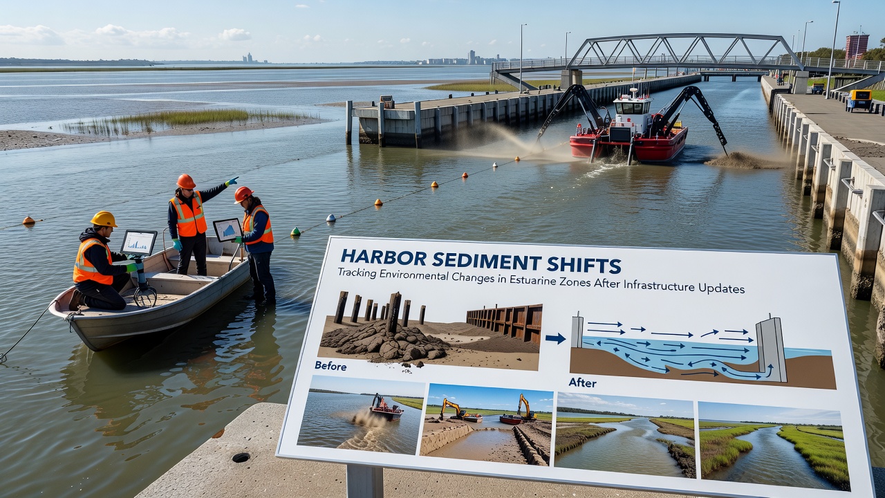
European Environment Agency reports highlight similar approaches across EU member states, where ports have integrated real-time sensor networks with hydrodynamic models to forecast sediment transport following channel deepening projects. Models calibrated with field observations predict that a 2-meter increase in channel depth can shift deposition zones by several hundred meters, requiring updated maintenance dredging schedules. Observers note that combining these predictive tools with periodic diver surveys improves accuracy when mapping changes in sediment thickness over time.
September 2026 marks the scheduled release of updated regional sediment budgets for several major harbors along the Pacific coast, where port authorities plan to incorporate findings from recent infrastructure expansions into revised environmental management frameworks. These updates will integrate new bathymetric data collected through 2025 with existing long-term records to refine projections for the following decade.
Impacts on Water Quality and Ecosystems
Sediment redistribution influences dissolved oxygen concentrations because resuspension events increase biological oxygen demand in the water column, and agencies have recorded temporary declines of 1 to 3 milligrams per liter during high-energy storm periods following construction. Nutrient loading also changes when previously buried sediments become exposed, releasing phosphorus and nitrogen that can stimulate algal growth in shallow embayments. Canadian federal monitoring programs track these parameters at fixed stations to assess compliance with water quality guidelines after infrastructure projects conclude.
Benthic invertebrate surveys conducted before and after updates show shifts in species composition, with deposit feeders often increasing in areas of new sedimentation while filter feeders decline where turbidity remains elevated for extended periods. These biological responses provide indicators that complement physical measurements of sediment movement, allowing managers to evaluate ecosystem recovery trajectories over multi-year timescales.
Case Examples from Global Ports
Port authorities in Australia have implemented adaptive management strategies after observing sediment accumulation near newly constructed container terminals, and annual hydrographic surveys guide targeted dredging that minimizes impacts on nearby seagrass beds. Similar patterns appear in Asian harbor developments where land reclamation projects have altered tidal prisms, leading to accelerated infilling of secondary channels that previously maintained natural flushing. Researchers compile these observations into comparative databases that identify common thresholds for when intervention becomes necessary.
One study revealed that combining numerical modeling with periodic sediment sampling reduced unexpected shoaling events by 40 percent in a European estuary where multiple infrastructure phases overlapped, and the approach has since been adopted at additional sites facing comparable challenges. Data from these efforts continue to inform best practices for sequencing construction activities to limit cumulative sediment disturbances.
Conclusion
Tracking harbor sediment shifts requires integrated monitoring that spans physical, chemical, and biological parameters, and agencies worldwide continue to refine methods as infrastructure projects expand to meet growing trade demands. Updated datasets scheduled for release in September 2026 will provide fresh benchmarks for evaluating long-term responses in estuarine zones, supporting more precise planning for future modifications while maintaining navigational safety and ecological function.