Quinn Krüger · 16 October 2026
Volunteer Networks Track Shellfish Population Dynamics in Reclaimed Inlet Zones
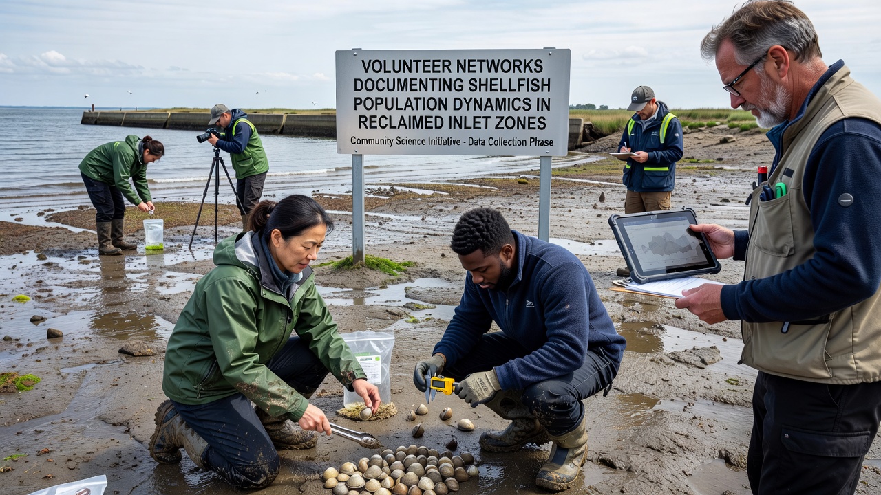
Reclaimed inlet zones along coastal regions have drawn attention from volunteer networks focused on shellfish populations because these areas undergo significant hydrological shifts after infrastructure projects alter tidal flows and sediment patterns. Groups of trained citizens now gather consistent field data on species such as clams, oysters, and mussels to map how numbers and sizes change over time. Data collection protocols emphasize standardized transects and quadrat sampling, which allow comparison across multiple sites even when local conditions vary.
Methods Volunteers Use to Record Population Trends
Volunteer teams follow established marine monitoring guidelines that include measuring shell lengths, recording density per square meter, and noting substrate type at each sampling point. Participants photograph specimens and upload readings to shared databases that researchers later validate for accuracy. Training sessions cover identification of native versus invasive species, and many networks schedule monthly outings timed to coincide with spring low tides. Equipment remains basic yet effective: measuring calipers, waterproof data sheets, and GPS units help maintain spatial precision without requiring expensive laboratory tools.
One long-running program in the Pacific Northwest coordinates with regional environmental agencies to cover reclaimed inlets where former tidal channels have been partially filled for port expansion. Volunteers there have logged seasonal recruitment pulses of Pacific littleneck clams, and the resulting datasets reveal how reduced flushing affects larval settlement rates. Similar efforts in northern Europe apply the same protocols to oyster beds that recolonized engineered breakwaters after port modernization projects.
Data Patterns Emerging from Multiple Regions
Compiled records show that shellfish biomass in some reclaimed zones rebounds within three to five years when sediment remains coarse enough for burrowing species. In contrast, sites dominated by fine silt after dredging operations display slower recovery, with counts of mature individuals staying below pre-reclamation baselines. Temperature loggers deployed alongside biological surveys indicate that warmer summer inflows in certain inlets correlate with higher mortality among juvenile mussels, while cooler, well-mixed waters support steadier growth.
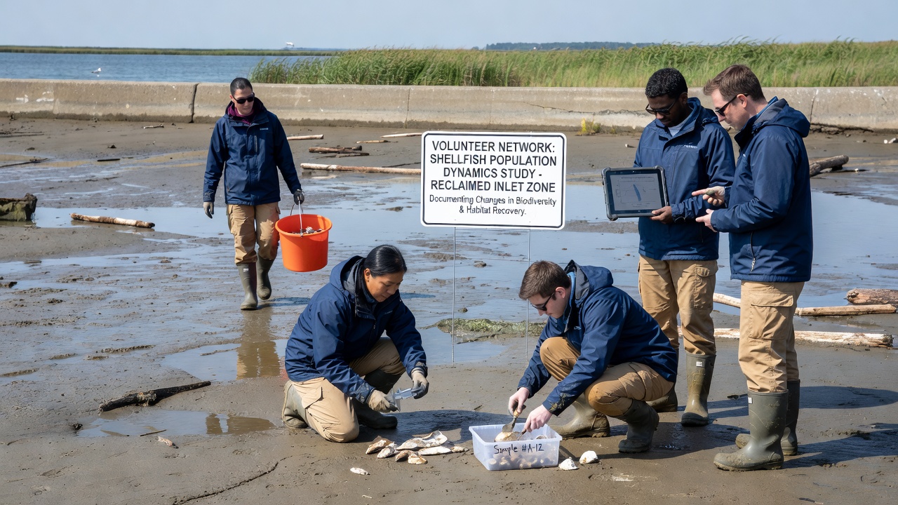
By October 2026 several networks plan to release updated maps that integrate five years of volunteer observations with satellite imagery of inlet morphology. These maps will highlight corridors where larval transport still connects restored patches to open-water source populations. The combined dataset already indicates that connectivity matters more than total area for maintaining genetic diversity among oyster cohorts.
Collaboration with Academic and Government Partners
University laboratories provide occasional laboratory confirmation of field identifications, while government agencies supply permits and sometimes loan water-quality sondes. A recent partnership between Canadian citizen-science groups and Fisheries and Oceans Canada produced a joint report on soft-shell clam responses to inlet reconfiguration near Halifax. The report documented a 40 percent increase in legal-size clams at two monitored sites after culvert upgrades improved tidal exchange.
Australian researchers have begun cross-referencing volunteer counts from New South Wales inlets with acoustic telemetry data on fish predation, revealing that reclaimed zones with complex rubble substrates shelter more juvenile shellfish than smooth sand flats. These findings feed into adaptive management plans that adjust dredging schedules to protect peak recruitment windows.
Challenges in Maintaining Long-Term Records
Volunteer networks face turnover as participants move or shift focus, so core organizers run annual refresher courses and maintain digital archives that new members can access quickly. Equipment loss during storms requires replacement funds that often come from small grants rather than ongoing budgets. Data gaps appear when extreme weather prevents safe access, yet teams mitigate this by prioritizing sheltered sub-sites and using drones for visual counts when tides allow.
Standardization across networks remains an ongoing task because different regions started with slightly varied protocols. Working groups now meet virtually each quarter to align measurement units and species lists, which improves the reliability of continent-scale comparisons.
Conclusion
Volunteer documentation of shellfish populations supplies fine-scale temporal and spatial resolution that professional surveys alone cannot achieve across many reclaimed inlets. The accumulated records support models that predict how future modifications to tidal infrastructure may affect recruitment and survival. Continued coordination between citizen networks, academic institutions, and regulatory bodies ensures that these datasets remain accessible and comparable well into the next decade.